Cable, Pipe and Leak Detection

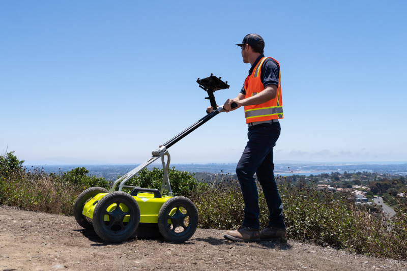
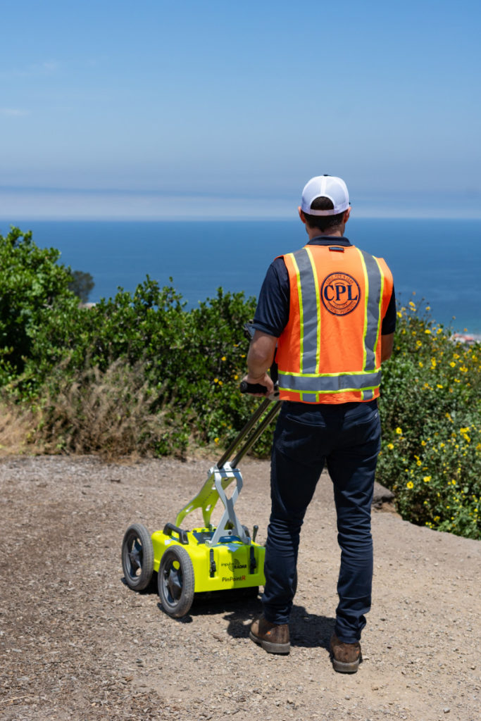
At the forefront of subsurface imaging, Ground Penetrating Radar (GPR) stands as a revolutionary technology that reveals what lies beneath the earth’s surface. Utilizing advanced radar pulses, GPR delves deep into the ground, employing high-frequency electromagnetic waves to detect and map underground utilities and structures. This includes an array of materials and voids such as concrete, asphalt, metals, pipes, and cables.
What sets GPR apart is its ability to provide real-time, detailed imaging of the subsurface, reaching depths of up to 12 feet. This sophisticated technology not only helps identify the location and depth of utilities but also reveals critical details like the pattern of electrical conduits, rebar, post-tensioned cables, and the approximate dimensions of voids. It’s capable of measuring slab thickness and identifying PVC conduits as well as heating and cooling lines. GPR’s analysis make it invaluable for a wide range of applications:
Locating Plastic Pipes and Conduits: GPR efficiently identifies non-metallic pipes and conduits that are often challenging to detect with traditional methods.
Underground Storage Tanks and Sewer Lines: It provides a clear understanding of underground tanks and sewer lines, essential for job site excavation where maps and data may not be available.
Void Detection: GPR effectively reveals hidden voids, ensuring structural integrity and safety.
Fiberglass Fuel Lines: With GPR, what was once a near-impossible task of locating fiberglass fuel lines is now straightforward and reliable.
By offering a non-destructive and accurate means to explore the subsurface, GPR becomes an indispensable tool for a myriad of industries, including construction, utility management, environmental studies, and more.
For detailed insights and expert GPR services, or if you have any questions about how GPR can assist in your specific project, please contact us! Let us help you see beneath the surface.


At the forefront of subsurface imaging, Ground Penetrating Radar () stands as a revolutionary technology that reveals what lies beneath the earth’s surface. Utilizing advanced radar pulses, GPR delves deep into the ground, employing high-frequency electromagnetic waves to detect and map underground utilities and structures. This includes an array of materials and voids such as concrete, asphalt, metals, pipes, and cables.
What sets apart is its ability to provide real-time, detailed imaging of the subsurface, reaching depths of up to 12 feet. This sophisticated technology not only helps identify the location and depth of utilities but also reveals critical details like the pattern of electrical conduits, rebar, post-tensioned cables, and the approximate dimensions of voids. It’s capable of measuring slab thickness and identifying PVC conduits as well as heating and cooling lines. analysis make it invaluable for a wide range of applications:
Locating Plastic Pipes and Conduits: efficiently identifies non-metallic pipes and conduits that are often challenging to detect with traditional methods.
Underground Storage Tanks and Sewer Lines: It provides a clear understanding of underground tanks and sewer lines, essential for job site excavation where maps and data may not be available.
Void Detection: effectively reveals hidden voids, ensuring structural integrity and safety.
Fiberglass Fuel Lines: With GPR, what was once a near-impossible task of locating fiberglass fuel lines is now straightforward and reliable.
By offering a non-destructive and accurate means to explore the subsurface, becomes an indispensable tool for a myriad of industries, including construction, utility management, environmental studies, and more.
For detailed insights and expert services, or if you have any questions about how can assist in your specific project, please contact us! Let us help you see beneath the surface.